Commercial & Infrastructure
Inspections
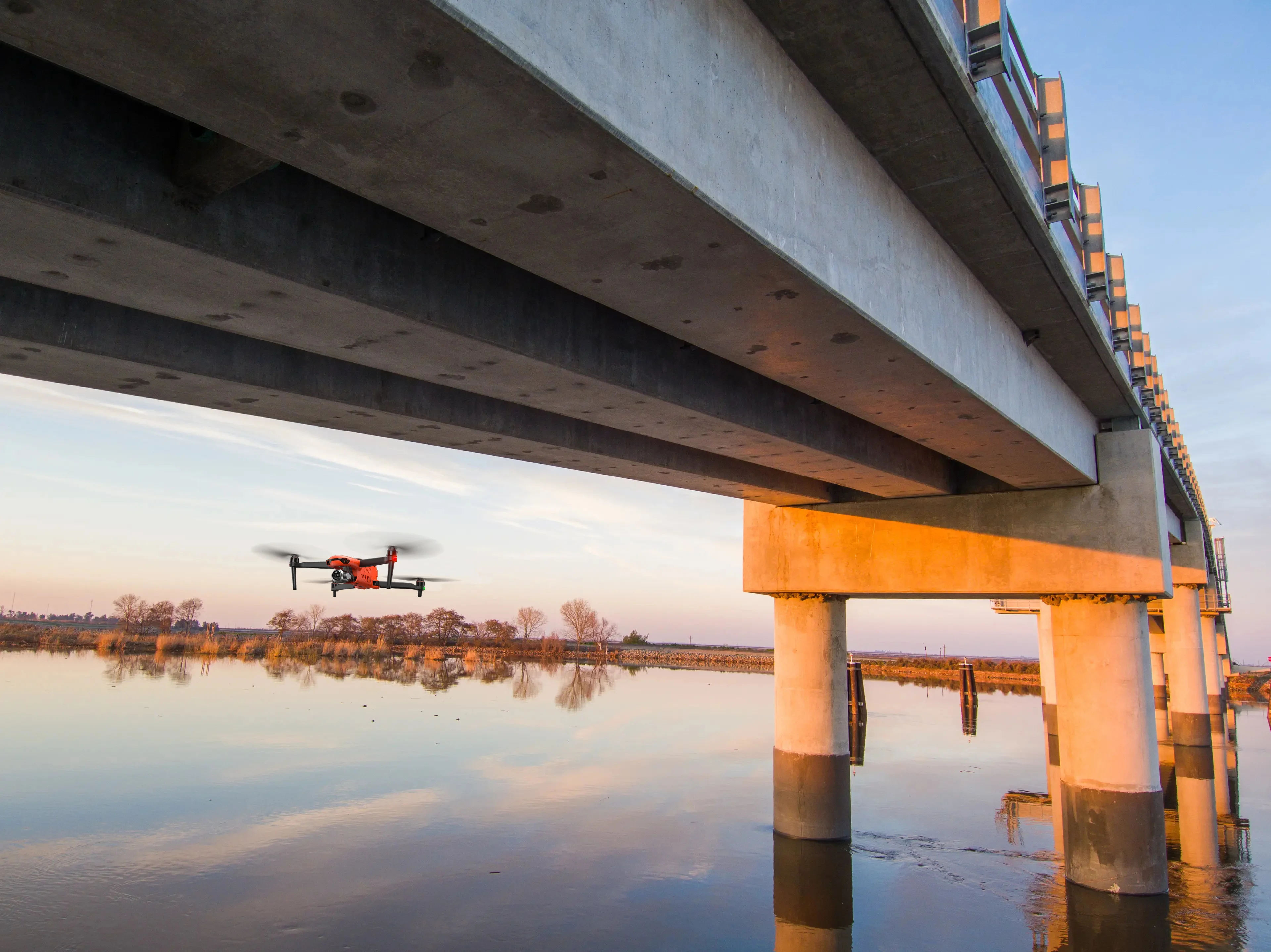
Drones in Infrastructure Inspection
Drones, once primarily the domain of military and recreational use, have swiftly become a cornerstone in the field of infrastructure inspection. Their ability to swiftly, safely, and accurately gather data has not only revolutionized the process but also significantly minimized human risk and environmental impact.
The versatility and efficiency of drones for infrastructure inspections lie in their ability to access hard-to-reach areas and quickly gather data, often with higher resolution imagery than traditional means. This agility reduces inspection times and enhances safety for personnel.
Increased Safety & Ruduced Risk
Embracing drone technology for infrastructure inspections amplifies worker safety by circumventing the need for direct exposure to perilous conditions. These aerial devices conduct assessments remotely, effectively diminishing on-site accidents and ensuring a safer work environment.
Click on Image to Enlarge
Commercial Inspections
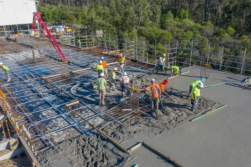
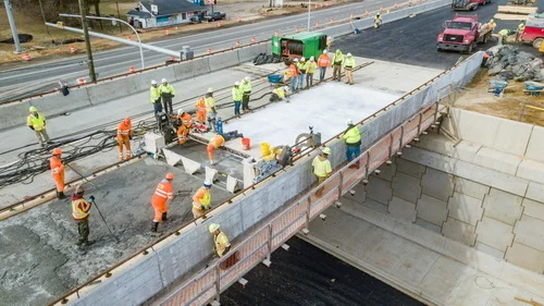
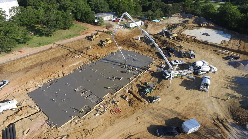
Construction
Construction planning, management, and inspection are among the leading uses of drones commercially. In year over year adoption of aerial data and analysis, construction leads all other industries at 238% growth. “Of the more than 1.5 million drones registered in the United States, about one third are registered for commercial use, with home builders at the forefront of the technology’s use for things like aerial photographs for promotional materials, tracking progress during development of sites, and preliminary surveillance before starting a project.”
Surveying and digitally mapping the topography, soil analysis before projects begin, monitoring progress, and providing inspections during and at completion are current examples of drones assisting in many facets of the construction process. “Camera technology is used to monitor buildings and gauge topography and soil type throughout the construction life-cycle. As the adoption of drones in construction continues, other functionality is being offered. Drones are not only used to track progress but can provide up to the minute details of the locations of workers and materials to on-site supervisors. Through the use of camera and lasers, drones are being used in building information modeling (BIM) and to build 3D renderings of parts or entire buildings.
Click on Any Image to Enlarge


Power Lines and Wind Turbines
Drones enable precision monitoring, capturing fine details on power lines and wind turbines for early fault detection and maintenance, enhancing grid reliability and energy production efficiency. Click on the image to see the close up view.
Click to Enlarge
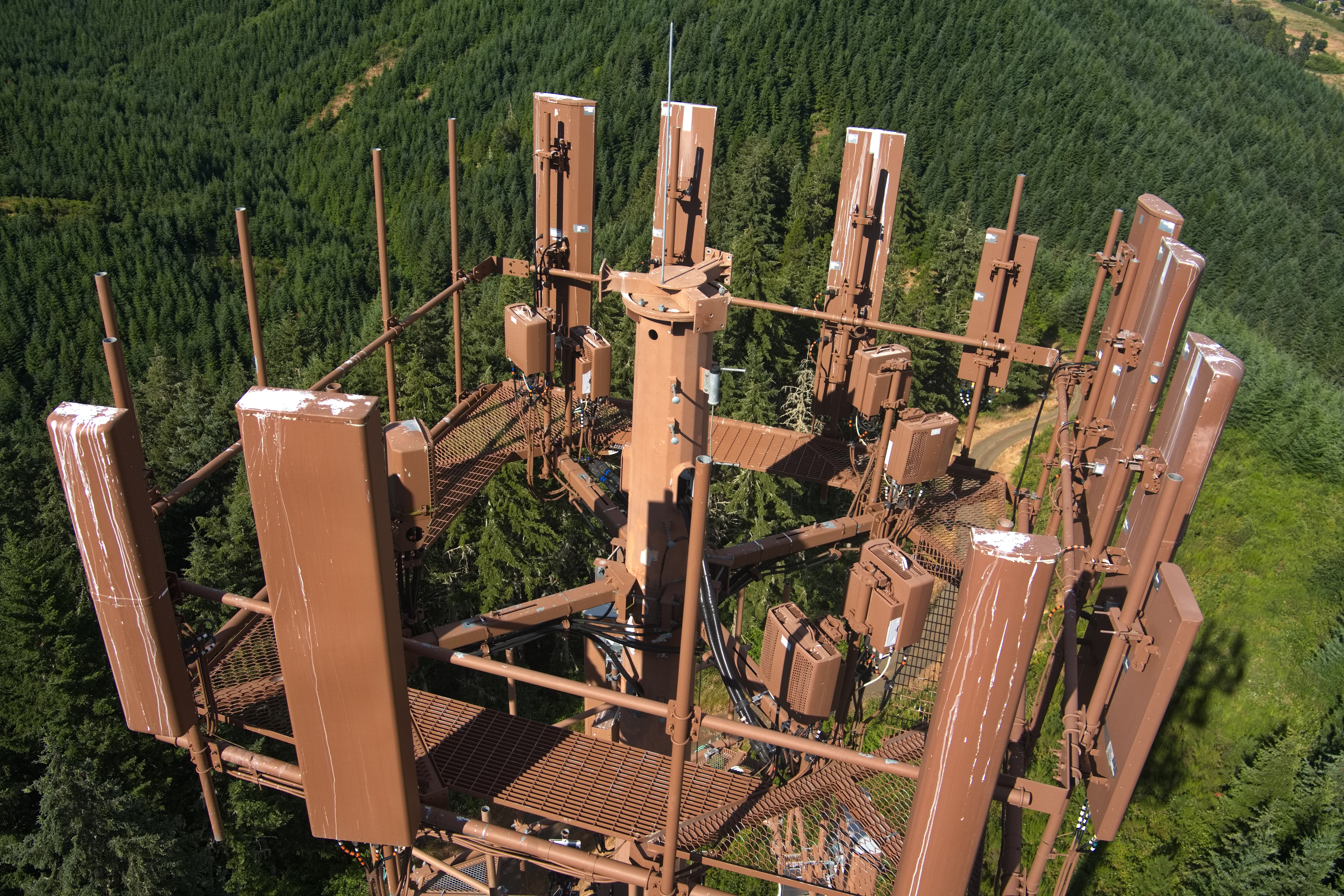
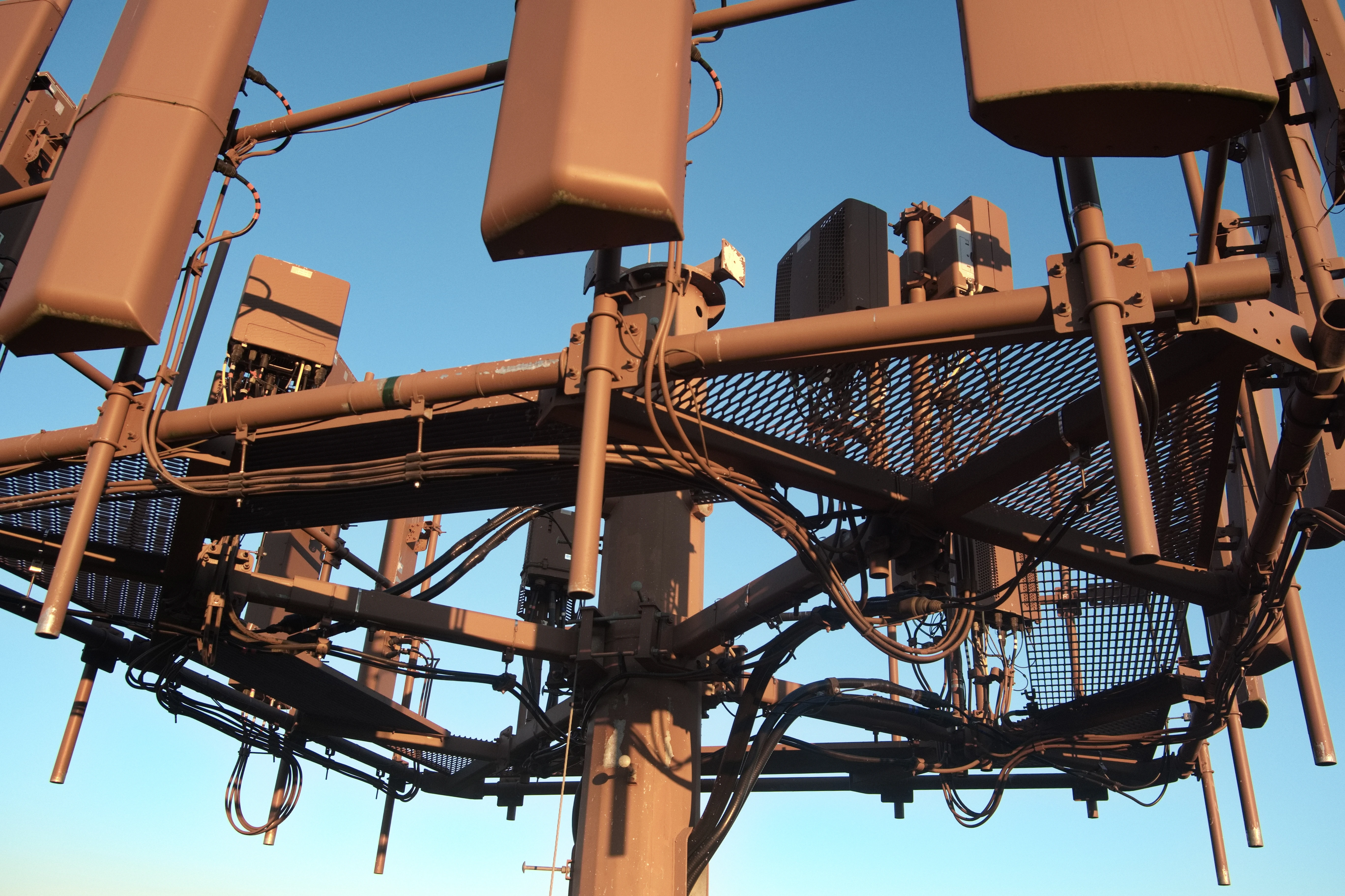
Why Drones Belong in Communication Towers:
Click to Enlarge